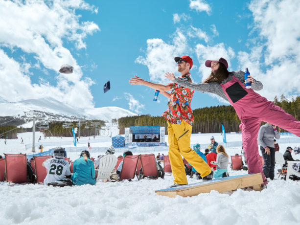
As ski season winds down in Breckenridge, it's time to gear up for the ultimate end-of-season celebration. This charming mountain town is rolling out a lineup of amazing events. Get ready for pond skimming, concerts, and so much more.
Read MoreCategory: Breckenridge Activities
Posted on 16 Aug 2023
Prost! Exploring Oktoberfest and Breckenridge Craft Breweries
As the aspens change color in the Rocky Mountains, there's no better way to enjoy the season than with a cold craft beer in Colorado. With Oktoberfest celebrations and more than 400 breweries across the state, there's something for everyone. Many of the breweries in Breckenridge are independently and locally owned and serve up a wide variety of artisan craft brews.
Read More
Posted on 28 Jul 2023
Everything to Know About Pickleball in Breckenridge

Pickleball courts are popping up everywhere, and the latest paddle sports craze has made its way to the Colorado Rockies where it’s starting to rival mountain biking, hiking, and horseback riding as a popular summer activity.
Read More
Posted on 15 Jun 2023
5 Best Wildflower Hikes in Breckenridge
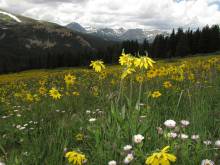
Breckenridge treats us with a wildflower explosion come summertime. Mother Nature takes the wheel and puts on a show, painting our fields and meadows in vibrant reds, yellows, oranges, and purples. Wildflower season is truly enchanting - we don't want you to miss it!
Read More
Posted on 30 May 2023
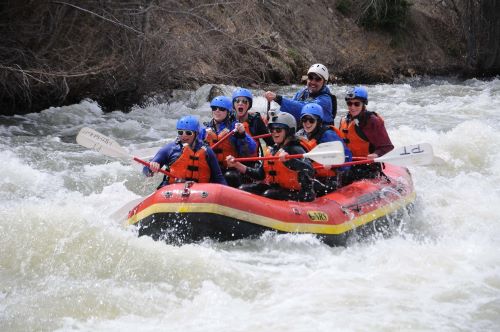
Paddlesports Guide for Breckenridge
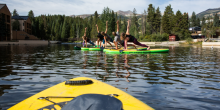
As the summer heats up, it's the perfect time to head to the water to cool off. Head out to one of Breckenridge's favorite lakes, ponds or rivers for some fun.
Read More
Posted on 22 May 2023
Best Places to Golf in Breckenridge
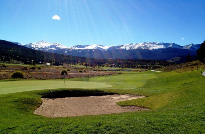
Summer comes and goes fast...it’s time to get into the swing of things! Golf is always a favorite activity to kick off the summer season in Breckenridge And did you know that the high altitude of the Rocky Mountains makes golf balls fly 10% farther? While it sounds like inflated folklore, the aerodynamic researchers at Titleist concur. With a driver, you get an extra 2.5 yards per 1,000 feet of altitude. At a base elevation of 6700’ your game can certainly go the distance!
Read More
Posted on 30 Mar 2023
5 Top Extraordinary Experiences in Breckenridge
At Moving Mountains, we provide you access to the most exclusive private homes in Breckenridge. We are here to create memorable vacations in exceptional mountain homes. What makes a vacation even more memorable? Extraordinary experiences!
Read More
Posted on 02 Dec 2022
Top 5 Winter Activities in Breckenridge
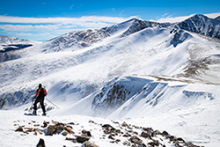
Breckenridge is a winter wonderland filled with fun things to do every winter! It's not just about skiing and snowboarding, there is so much more to do here. Come and enjoy the Rocky Mountains with us!
Read More
Posted on 19 May 2022
Spectacular Decks in Breckenridge's Best Summer Homes
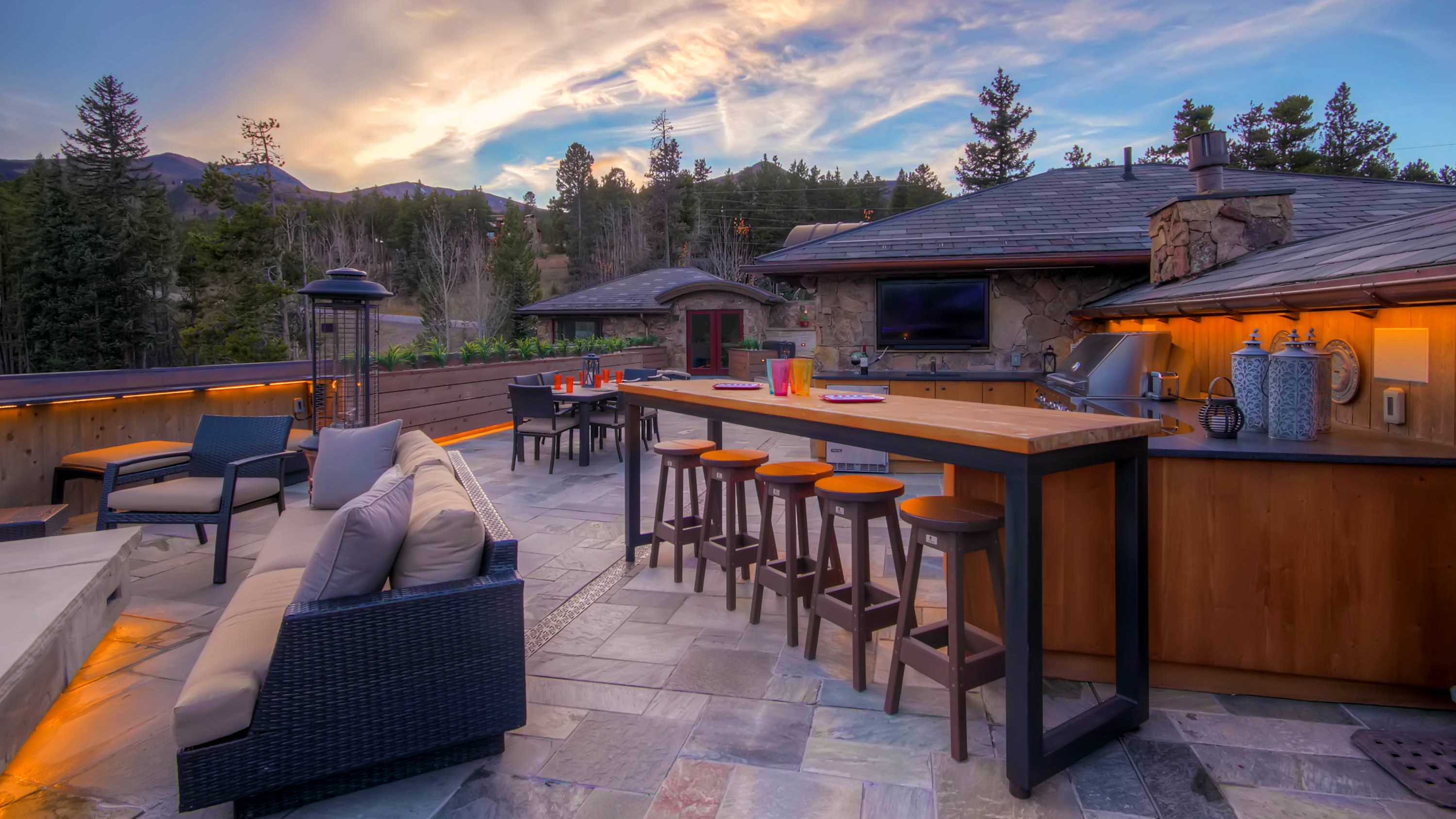
When visiting the mountains in the summertime, there is nothing better than sunsets on a gorgeous deck. Moving Mountains offers luxury mountain homes in Breckenridge to satisfy your need for the perfect summer deck. Check out a few of our favorite homes for a summer getaway in the area.
Read More
Posted on 14 May 2022
Golf in Breckenridge
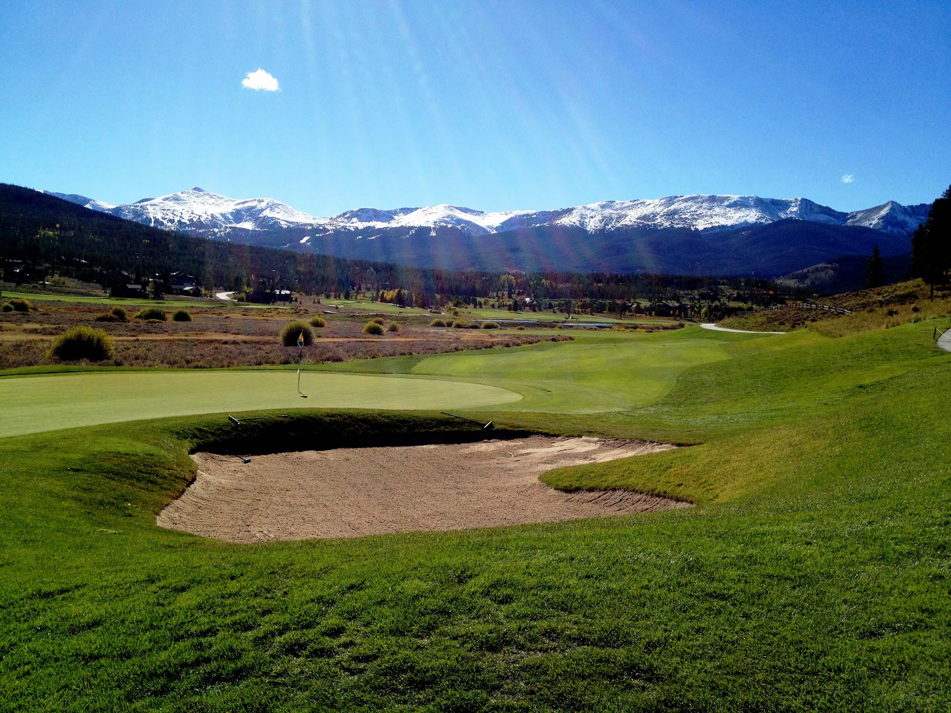
The snow has melted, the skis are stored for the summer...it's time to get into the swing of things! Golf is always a favorite activity to kick off summer.
Read More